After a wonderful day of exploring Srinagar, we continued on our journey towards Ladakh. Our plan was to pull a long day and drive straight to Leh. So, we left early in the morning and reached Sonmarg by noon.
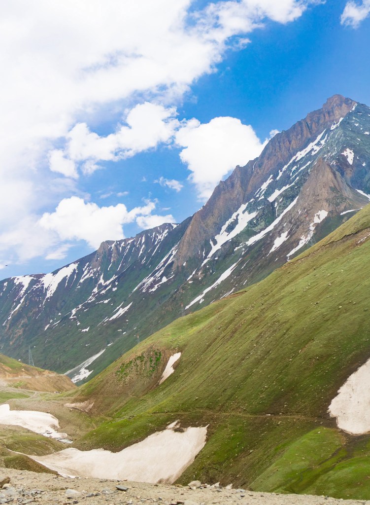
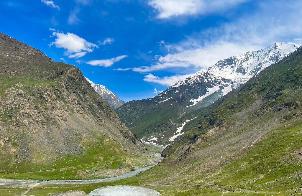
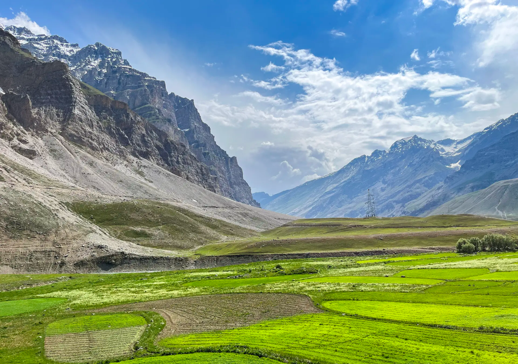
We did not stop in Sonmarg itself and instead continued along the bypass. The road began to open into wide alpine scenery, and every few minutes a new view appeared that made us slow down. We pulled over at a few good spots along the way, stepped out, took some photographs of the sweeping meadows and distant snow patches, and then carried on.
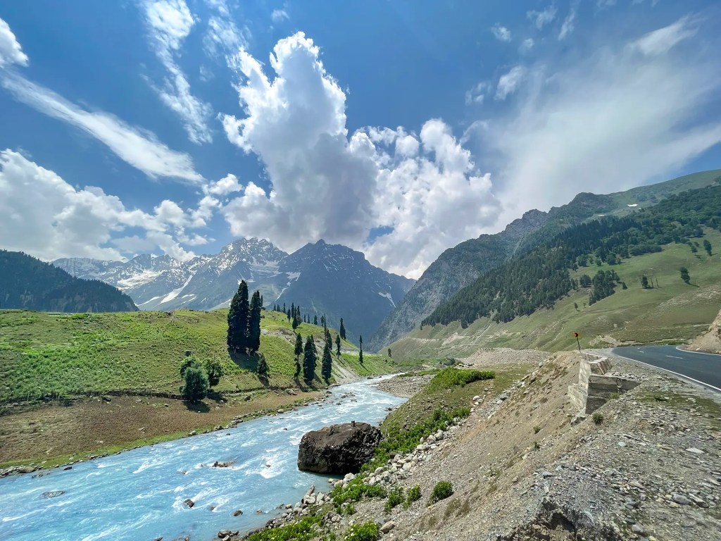
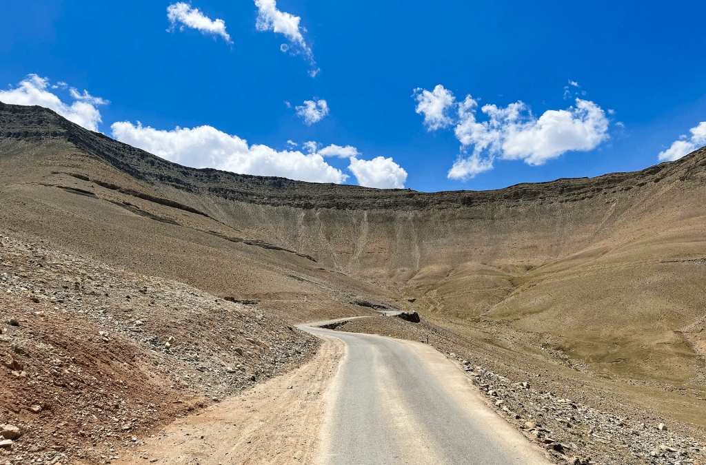
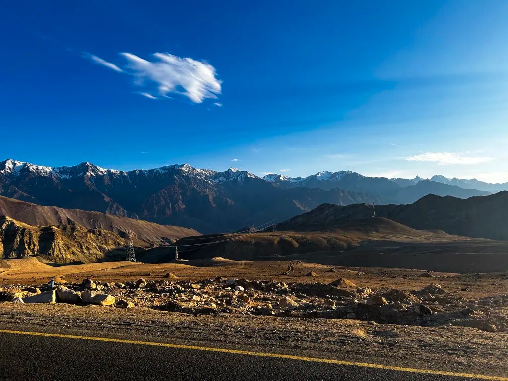
As we approached Zoji La, the terrain slowly became harsher and more rugged. Just before the pass we had to wait for about an hour, as road crews were clearing loose and dangerous rocks that had fallen from the slopes above. A small line of vehicles formed on the narrow mountain road while the work went on. Once the path was cleared and traffic was allowed through again, we continued the climb toward Zoji La and the stark landscapes beyond.
Zoji La
About Zoji La
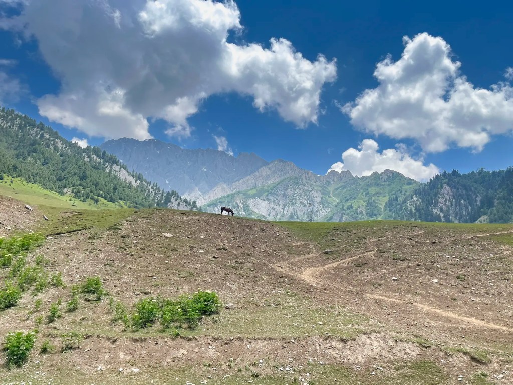
Zoji La is a high mountain pass in the Greater Himalaya that connects the Kashmir Valley with Ladakh. It lies on the Srinagar–Leh highway at an elevation of about 3,528 meters and marks the transition between the lush landscapes of Kashmir and the stark terrain of Ladakh. The pass sits between Sonmarg and Drass and has long served as a key route for travel and trade across the region. Many travelers informally refer to the top of the pass as “Zero Point,” a local name for the exposed saddle where the road crests the mountains and the scenery begins to change dramatically. From here the road descends toward the wide valleys leading to Drass.
Habitat & Species
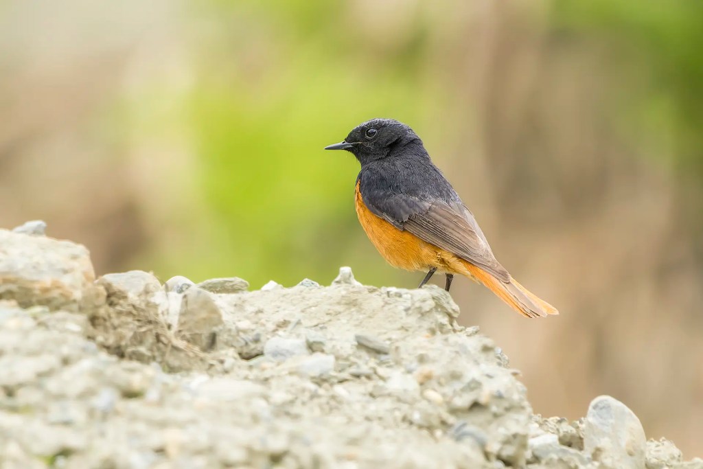
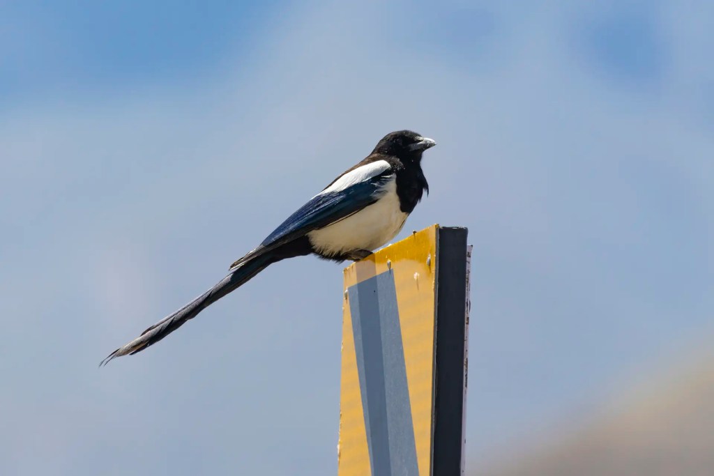
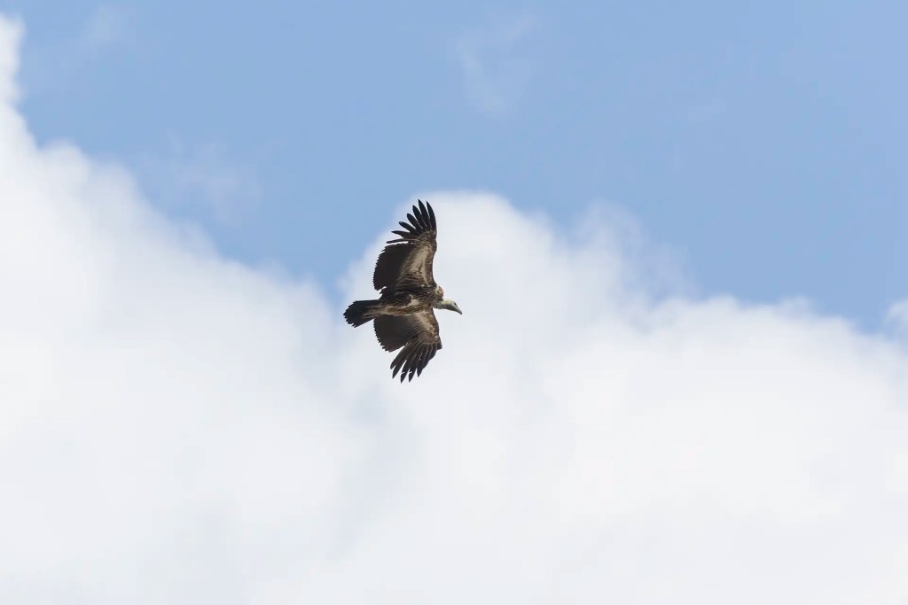
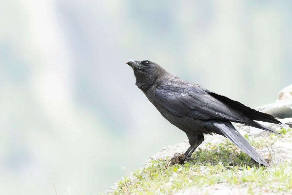
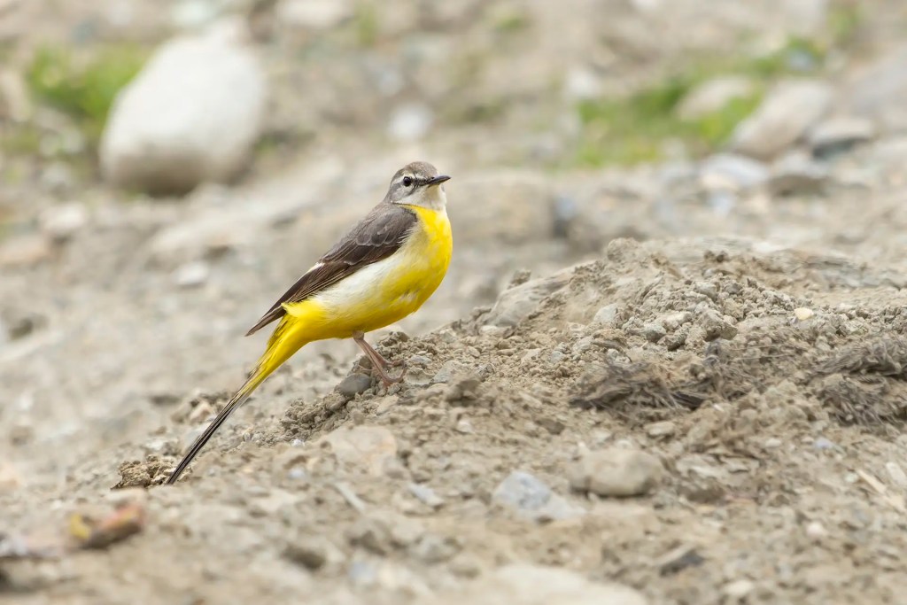
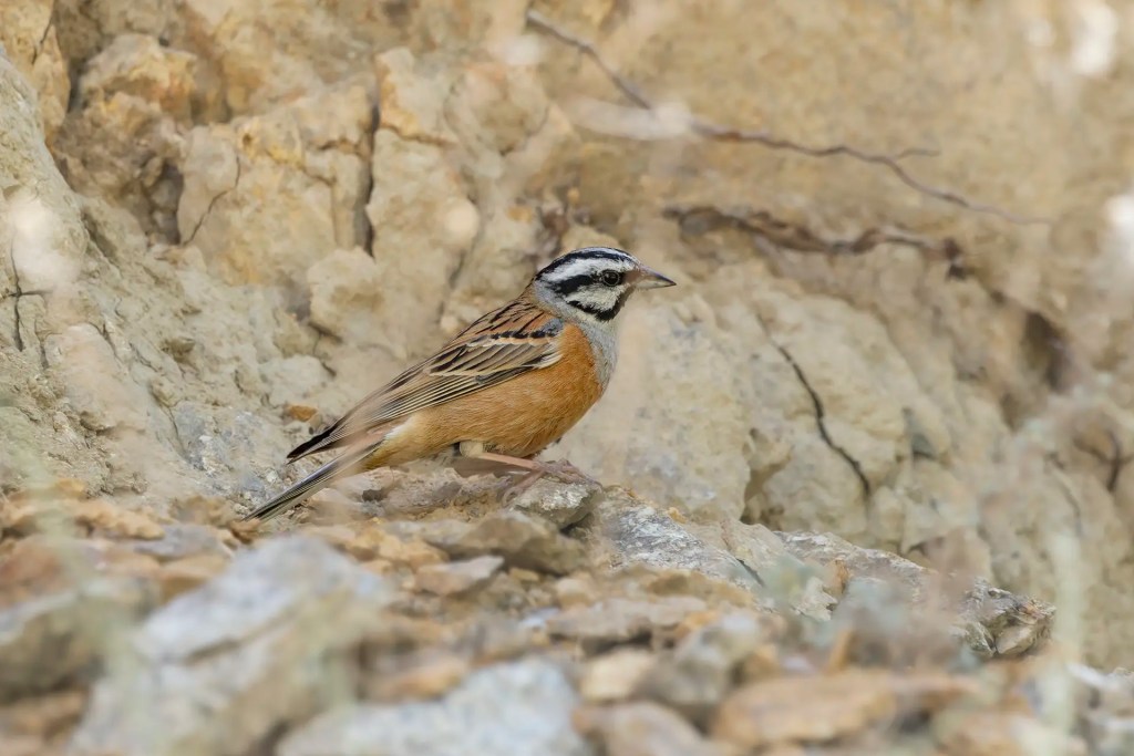
The habitat around Zoji La consists mainly of rocky slopes, alpine scrub, and scattered grasses. Vegetation is sparse, and the open terrain is shaped by strong winds and harsh winters. These conditions support several hardy mountain species. Large birds such as Himalayan Griffon are often seen gliding along the ridges, while Yellow-billed Chough frequently move in small flocks around cliffs and roadside slopes. Near settlements and road structures, Eurasian Magpie and Black Redstart are common sightings. Streams and wet patches along the road may also attract birds such as the Grey Wagtail.
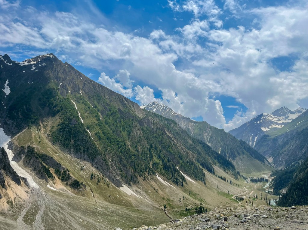
After taking a few photographs at Zoji La, we continued our drive toward Kargil. The weather was pleasant and clear, and the landscapes kept changing as we moved deeper into Ladakh. The green meadows of Sonmarg slowly gave way to a more rugged and stark terrain, with bare mountains and wide valleys stretching into the distance. It was one of those drives where the journey itself felt as memorable as the destination.
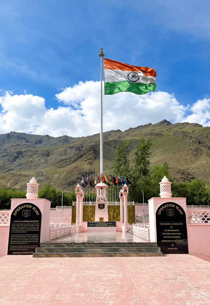
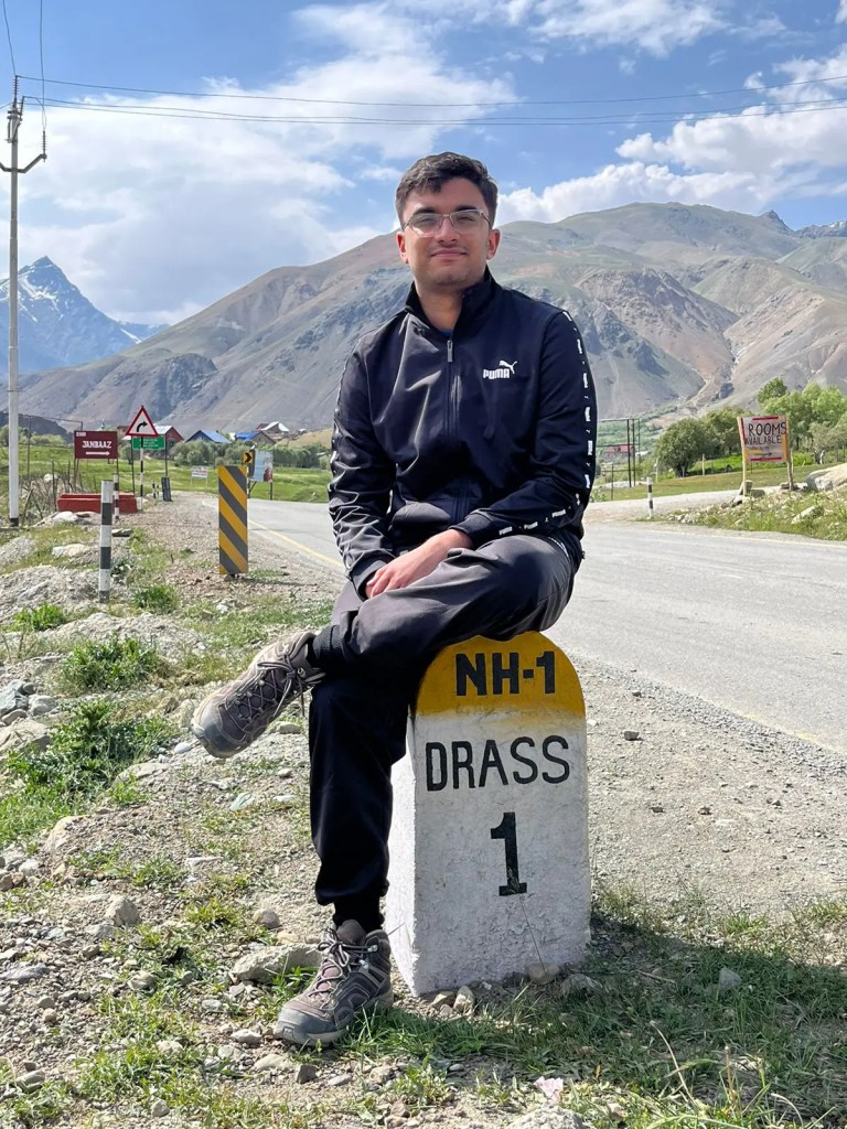
On the way, we stopped at the Kargil War Memorial at Drass. The memorial stands quietly against the dramatic mountain backdrop and serves as a reminder of the battles fought here during the Kargil War. Walking around the site and reading the inscriptions about the soldiers and operations gave the place a very solemn atmosphere. It was a meaningful stop on the journey.
By the time we reached Kargil, it was already early evening. Instead of continuing all the way to Leh, we decided it would be better to spend the night in Kargil. There were a few reasons for this change of plan. First, we wanted to explore Aryan Valley the next day on our way from Kargil to Leh. Second, the long wait before Zoji La and the stops along the route meant that we arrived later than expected. And finally, we thought it would be nice to spend some time exploring Kargil itself rather than simply passing through it.
After spending the night in Kargil, we set out again the next morning. Instead of taking the usual Lamayuru monastery road toward Leh, we decided to take the Batalik route so that we could explore the Aryan Valley along the way.
Aryan Valley
About Aryan Valley
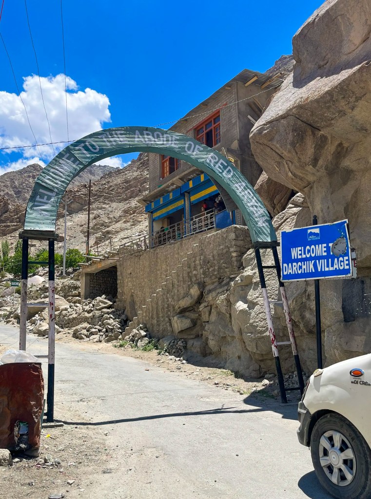
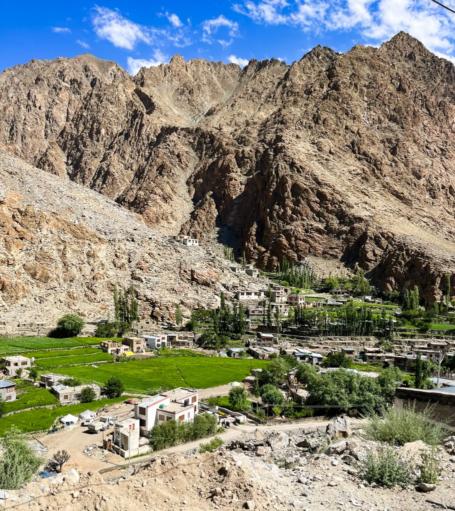
Aryan Valley lies along the lower Indus River in the Batalik sector of western Ladakh, between Kargil and Leh. The valley includes villages such as Dah, Hanu, Garkone, and Darchik and is known for the Brokpa community that lives here. These villages sit at relatively lower elevations than most parts of Ladakh, which allows small-scale agriculture to thrive. Apricot orchards, terraced fields, and traditional stone houses give the valley a greener and more lived-in character compared to the stark high-altitude landscapes that dominate much of Ladakh. The region also sits close to the Line of Control and the historic Batalik sector, adding historical importance to its quiet rural setting.
Habitat & Species
The valley follows the Indus and contains a mix of rocky cliffs, riverbanks, cultivated fields, and apricot orchards. This varied habitat supports a good range of birds typical of Ladakh’s lower valleys. Cliffs and open slopes may hold species such as Pied Wheatear, Blue Rock Thrush, and Chukar Partridge, while villages and orchards often attract Eurasian Magpie, Black Redstart, and various sparrows and finches. The Indus and nearby streams can host birds such as White Wagtail and other river-associated species. Raptors like Himalayan Griffon may also be seen soaring along the valley walls, using the strong mountain updrafts.
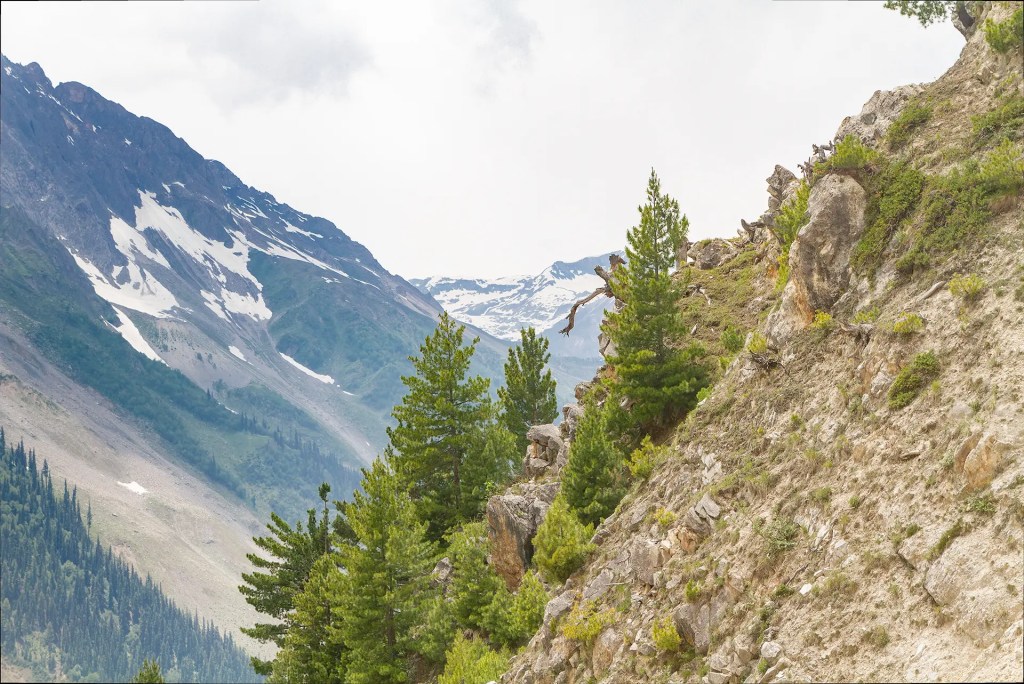
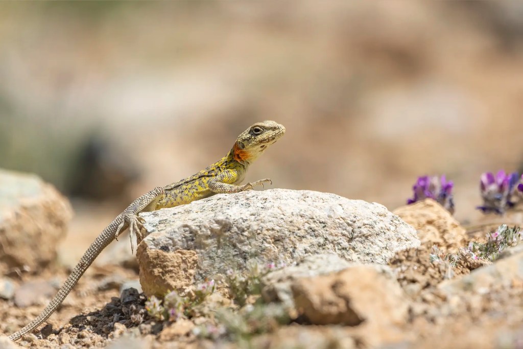
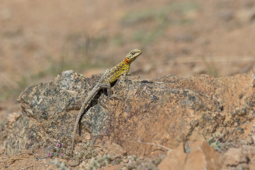
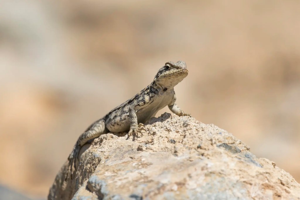
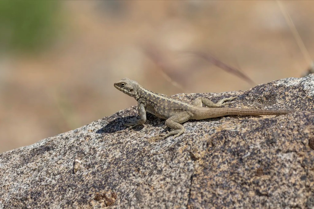
The drive toward Batalik turned out to be one of the most beautiful stretches of the journey. The valley opened into wide, dramatic landscapes that glowed in the morning light. At one point we stopped near a rocky slope where I noticed a group of Himalayan Rock Agamas basking in the sun, their bright colours standing out against the grey rocks.
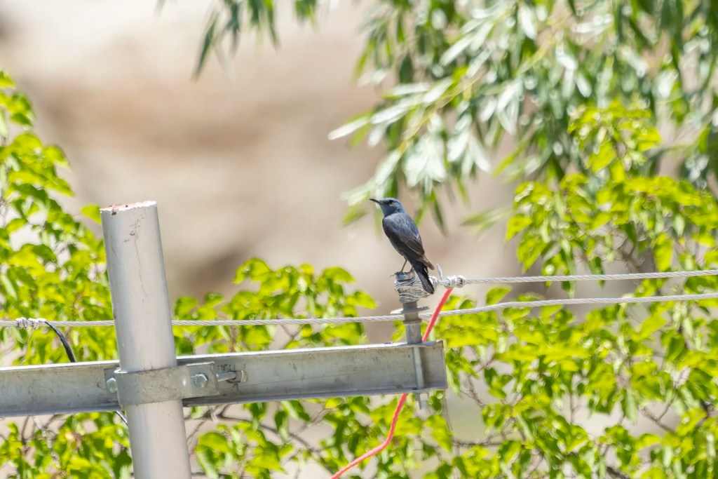
Our first stop in the Aryan Valley was the village of Garkone. Just before entering the village I spotted a male Blue Rock Thrush sitting on an electricity pole. It was quite far away and I could not get very good photographs, but it was my first time seeing the species. A lifer is a lifer, even if the photos are not great!
About Garkone
Garkone is one of the main villages of the Aryan Valley in Ladakh’s Batalik region. It lies along the Indus River and is known for its fertile land, apricot orchards, and traditional stone houses. The village is inhabited by the Brokpa community, whose culture, language, and traditional dress are distinct from the rest of Ladakh. Garkone also hosts the Himalayan Museum of Ladakh Culture and Heritage, a small museum that displays traditional clothing, farming tools, household items, and photographs that document the lifestyle and history of the Brokpa people.
In Garkone we visited the Himalayan Museum of Labdak Culture and Heritage. The small museum offers a glimpse into the life and traditions of the Brokpa community that lives in this region. Through displays of traditional clothing, household objects, farming tools and old photographs, we learned about their culture, their agricultural lifestyle and how the community has preserved its traditions despite the remoteness of the valley.
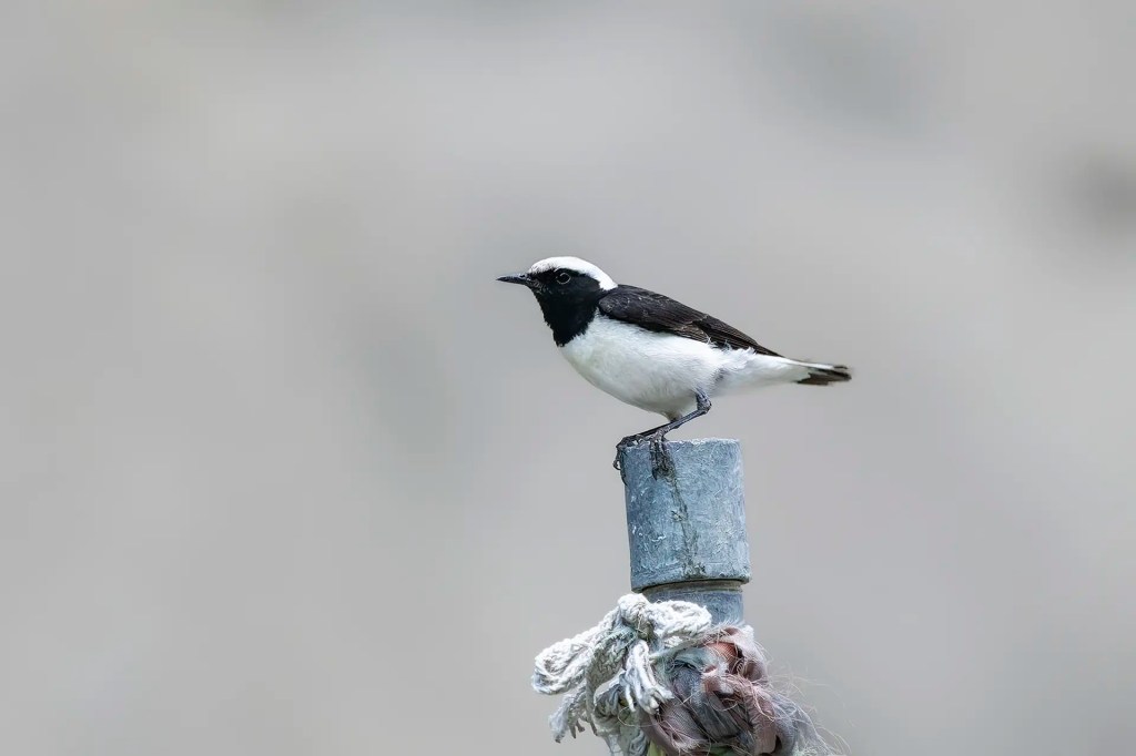
After leaving Garkone and driving toward Dah, I had another memorable birding moment. I spotted a Pied Wheatear along the roadside. Unlike my previous encounter with this species in Spiti, where the bird was distant and elusive, this one was remarkably confiding. It stayed in the open and allowed me to take several photographs from close range.
About Dah
Dah is often considered the cultural center of the Aryan Valley and is one of the most visited Brokpa villages in the region. The settlement sits above the Indus and is surrounded by terraced fields and apricot orchards. The village is known for preserving many traditional customs of the Brokpa community, including distinctive headgear decorated with flowers and ornaments. Walking through Dah offers a glimpse into everyday life in this remote Himalayan valley, where agriculture and orchard farming remain central to the local way of life.
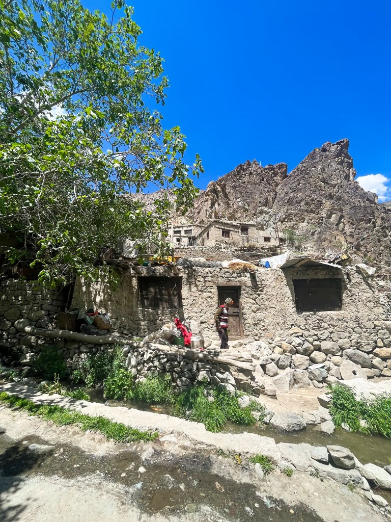
We soon reached Dah, one of the main villages of the Aryan Valley. Walking through the village lanes gave us a closer look at everyday life in this remote region. Apricot trees grew beside many of the houses, small fields were being tended by locals, and the homes were built in the traditional Ladakhi style using stone and mud.
About Hanu Thang
Hanu Thang lies further along the valley and serves as another quiet settlement within the Brokpa region. The village sits close to the Indus and is surrounded by steep mountains and cultivated terraces. Near Hanu Thang, ancient petroglyphs carved into rocks have been discovered, believed to date back many centuries and possibly linked to early trade routes that passed through the Indus valley. From here, a small road leads further toward Hanu Yogma, a peaceful stretch of valley known for its clear blue-green waters and striking mountain scenery.
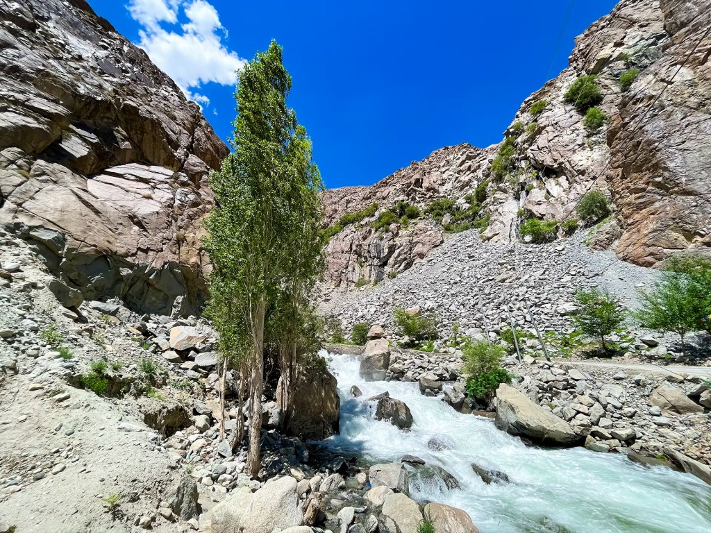
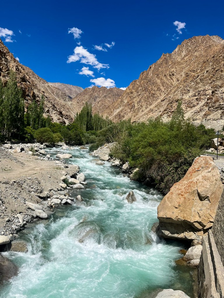
Our final stop in the Aryan Valley was supposed to be Hanu Thang. But, from there we drove further up to Hanu Yogma, about 8–10 km off the main highway. The small diversion turned out to be well worth it. The road ran alongside clear blue-green waters, with steep mountains rising on both sides of the valley, and the quiet landscape made the drive feel almost unreal.
Despite our best intentions, we did not have enough time or prior planning to look for the ancient petroglyphs near Hanu Thang, which are known to be found in the area. Still, the peaceful drive along the river made the short detour memorable before we continued onward toward Leh.
~Arjun Basandrai


Leave a comment